
Coy Lake and Harts Lake
Videos
Store

Quick Facts
| Features | lakes, wetlands |
| Access | boat launch |
| Route Difficulty | easy |
| Water Body Type | lake |
| Current Type | minimal |
| Route Type | loop |
| Route Distance | 8.8 km |
| Portage Distance | none |
| Estimated Time | 4 to 5 hours |
| Elevation Change | 3 metres |
| Scenery Rating | beautiful |
| Cell Reception | medium |
| Fees | none |
Description
Note: These waterways are fairly well protected by surrounding trees but wind conditions can still drastically vary the speed and difficulty of your trip. Please plan accordingly.
Coy Lake and Harts Lake are two very different lakes that are connected via Duck Creek. Coy Lake is a shallow lake that is full of tall grasses and wild rice. It is a great place for finding lots of ducks and herons, but it is difficult to paddle through the tall grass. Even if you don’t want to check out the grassy lake, it is worth paddling Duck Creek to the lake. To get to Duck Creek, turn left from the boat launch and travel along the shore. Duck Creek is lined with houses on the left and grassy meadows on the right. I saw osprey flying overhead in this area. Lots of ducks flew from the tall grasses on Coy Lake and eagles soared overhead. When returning to Harts Lake I passed by a painted turtle balancing on a stump, enjoying the sunshine.

When I returned to Harts Lake I turned left and continued along the shore of the lake. The shore is mostly open meadow in this area until it loops around to Oak Island. Oak Island is not really an island. It is a point of land that juts out into the lake. It is covered in a beautiful hardwood stand. I am guessing it has some Oak trees on it.
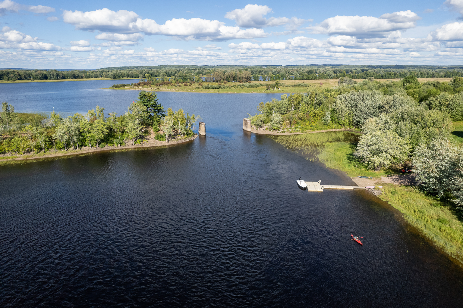
On the other side of Oak Island, the lake narrows into the channel that accesses the Wolostoq (St. John) River. Continuing along the shore on the far side of Oak Island, I saw fish jump, watched a pileated woodpecker peck on a rotten hardwood tree, and floated under a great blue heron up in a tree preening itself. When I got close to the Wolostoq (St. John) River, I saw more eagles fly overhead. Two old train bridge abutments flank the passage between the lake and the river. I was surprised to find quite a current flowing into the lake. This area is tidal so be cautious of the currents that it creates in this narrow passage.
Once through the old train bridge abutments, you can continue straight out to the main river, or you can turn right to go down through a smaller channel all the way to Gagetown. On the left there is a wetland that has a large beaver hut. I didn’t see any beaver.
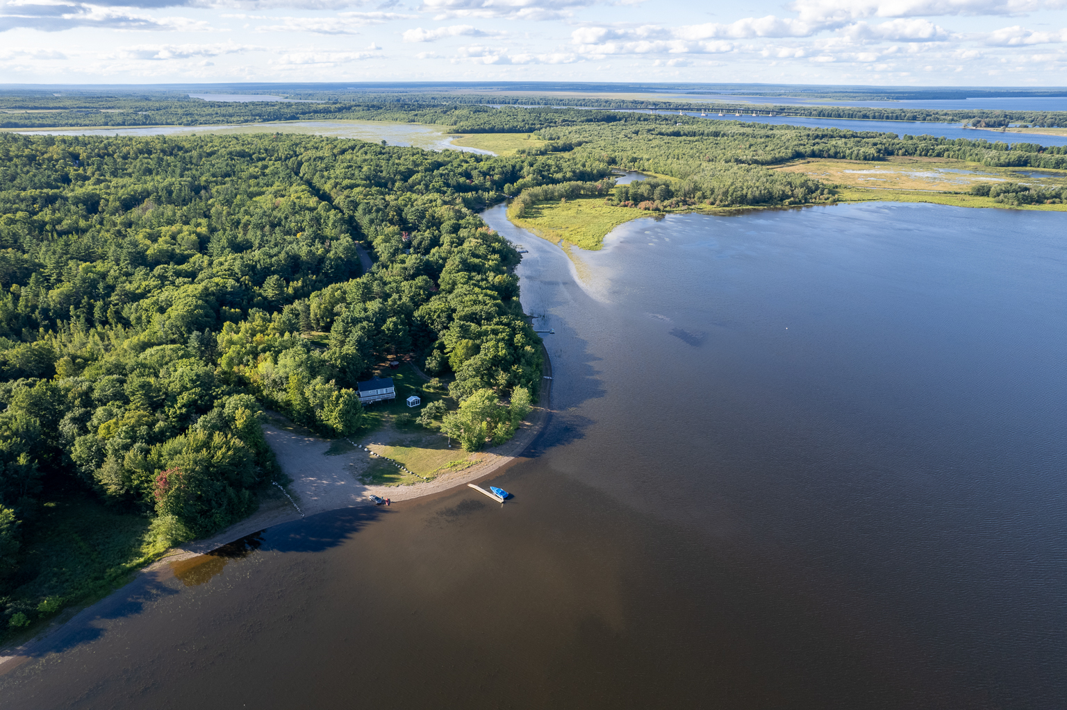
I caught the current back into the lake and stayed along the shore on the left. Here you will find lots of houses with lawns down to the lake. The wind had picked up, so I had to fight my way back across the lake to the boat launch. I got quite wet from the spray coming off the waves.
These lakes are a great place for families and kids due to their small size and protection from surrounding trees. Harts Lake can be challenging in windy conditions. In windy conditions I would stay around the well protected Duck Creek or make my way down to McAllisters Island along the shore. There is a wetland beyond McAllisters Island that I plan to explore on my next visit. You can see it in this video from my last visit.
If you are planning to explore this area for more than a day, you can camp at the Coy Lake Campground, or check out the accommodations in the nearby village of Gagetown.
Map

Directions
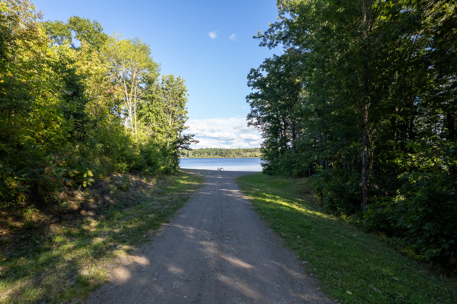
From Route 2 near Gagetown, take exit 330 and turn towards Gagetown. Drive south for just over four kilometres and look for Harts Lake Road on the left. Drive for 650 metres and then turn left on Harts Lake Beach Road. After 550 metres look for the sign for the boat launch on the right. This is a public boat launch maintained by the Municipality of Arcadia. It provides a nice gravel boat launch and ample room for parking.
It is also possible to access the channel (Duck Creek) between Coy Lake and Harts Lake at the end of the Lower Coytown Road, but the road is rough and there isn’t much room for parking.
Gallery

Trail Last Hiked: September 2, 2024.
Page Last Updated: December 26, 2024.